Set patrol corridors
Define fences, roads, gates, substations, blind spots, no-go zones, and priority inspection points.

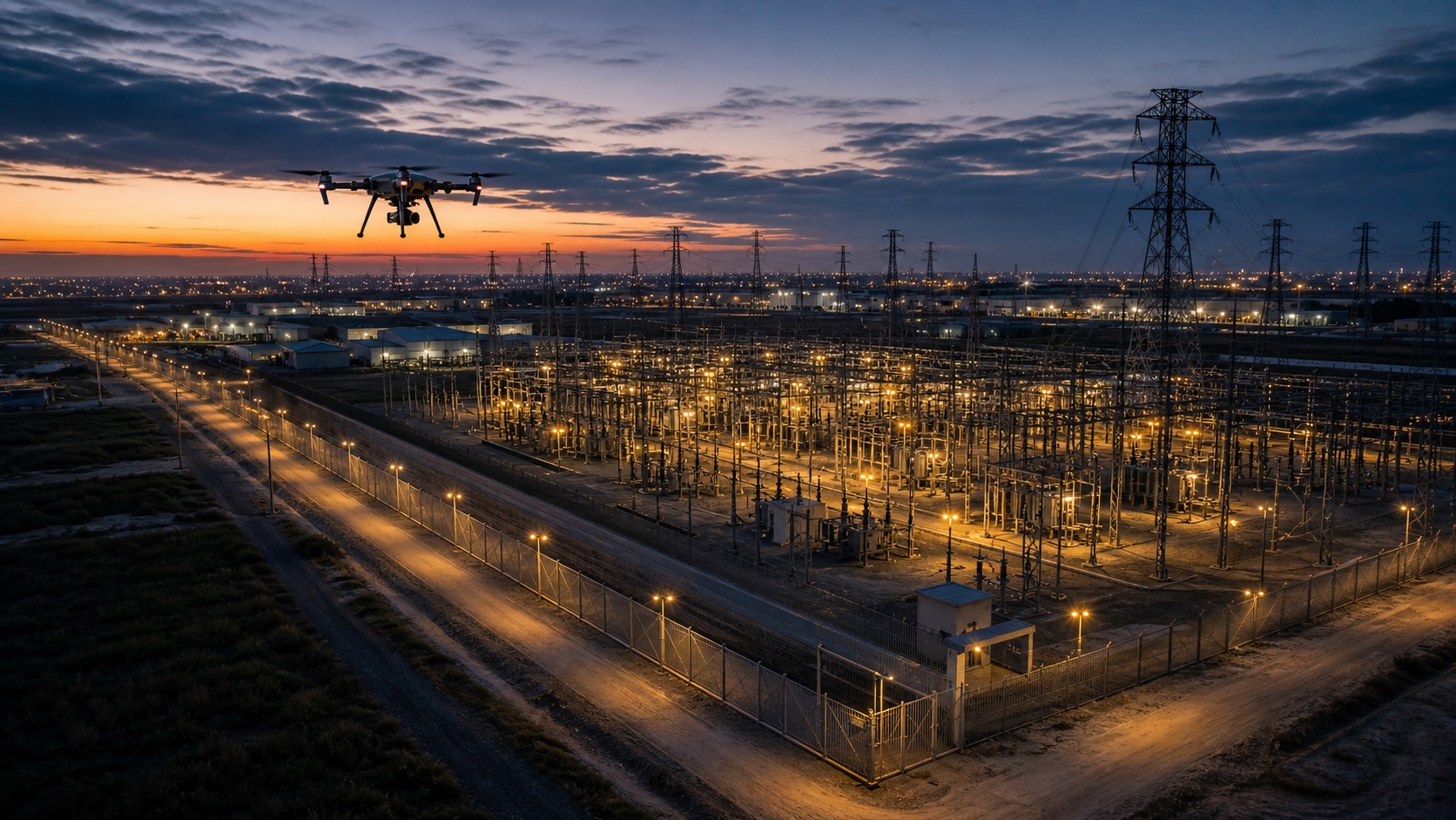
Large facilities and long perimeters are expensive to watch continuously. Horus creates repeatable patrol routes, separates normal coverage from events that deserve review, and keeps each observation tied to a location, time, and response note.
The page is built around the same operator loop teams run in the field: plan, cover, review, and hand off.
Define fences, roads, gates, substations, blind spots, no-go zones, and priority inspection points.
Fly consistent coverage patterns so changes are easier to compare across shifts, days, and incidents.
Rank anomalies, route deviations, parked vehicles, open gates, damaged assets, or movement for operator review.
Send field staff the location, imagery, route context, and response notes instead of a raw video timestamp.
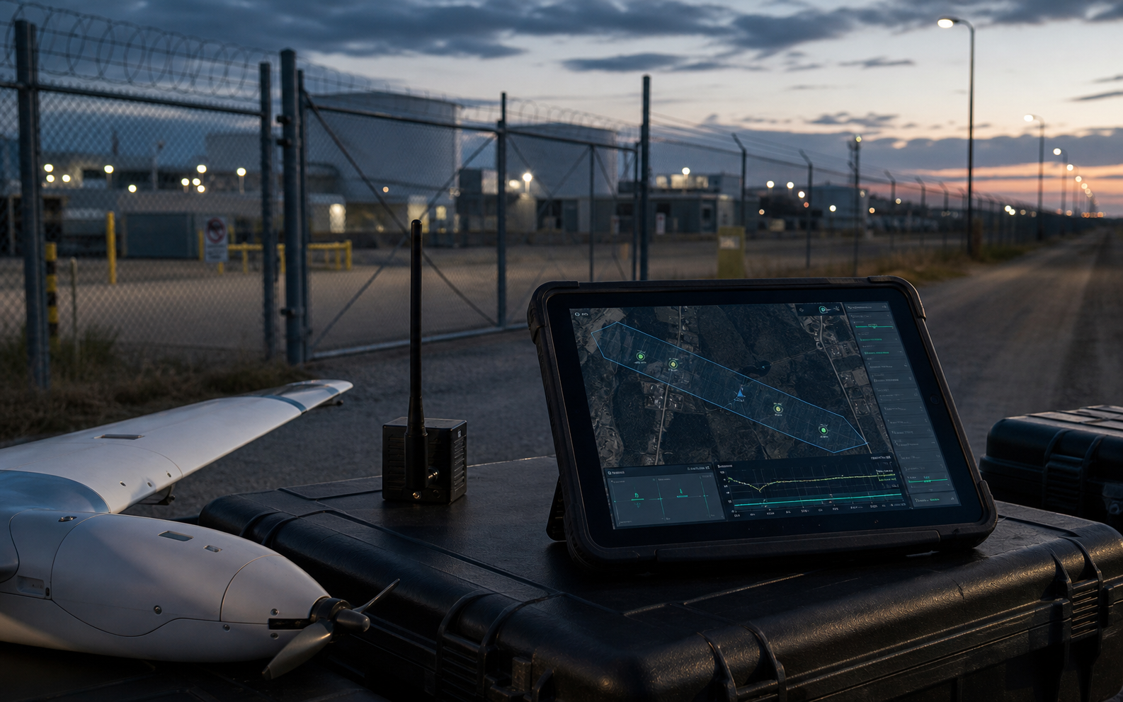
Horus keeps the mission readable while the aircraft is moving: route state, aircraft health, reviewed observations, uncertainty, and field-ready outputs stay tied to the same map.
Every patrol produces a record of covered lanes, aircraft state, and reviewed events.
Operators focus on ranked observations and exceptions instead of watching every second of flight footage.
Patrol logic can account for restricted zones, recurring blind spots, shift changes, and response procedures.
Perimeter work depends on repeatability. Horus keeps patrol lanes, sensitive zones, normal conditions, and exceptions attached to a site map that can be reviewed shift after shift.

The goal is not more video. It is a repeatable record of what changed, where it changed, and who should respond.
Consistent routes make it easier to compare today against the last patrol and identify changes that deserve attention.
Operators can focus on ranked observations instead of scrubbing raw footage from an entire perimeter flight.
Each escalation can carry the location, imagery, response notes, and patrol context needed by the next team.
Every flight should leave the team with decisions, not just more footage to sort through later.
Share the terrain, response team, site, or mission constraints you care about. Horus can help map the first deployable loop.