Frame the operating area
Set boundaries, hazards, launch points, priority corridors, and the field teams that need the aircraft's output.

Each solution starts from the same operating model: plan the area, task the aircraft, review what it saw, and send field teams the exact next action. The details change by mission, but the output stays practical and response-ready.
Horus is designed around the handoff: the moment aerial coverage becomes a verified decision that a person on the ground can use.
Set boundaries, hazards, launch points, priority corridors, and the field teams that need the aircraft's output.
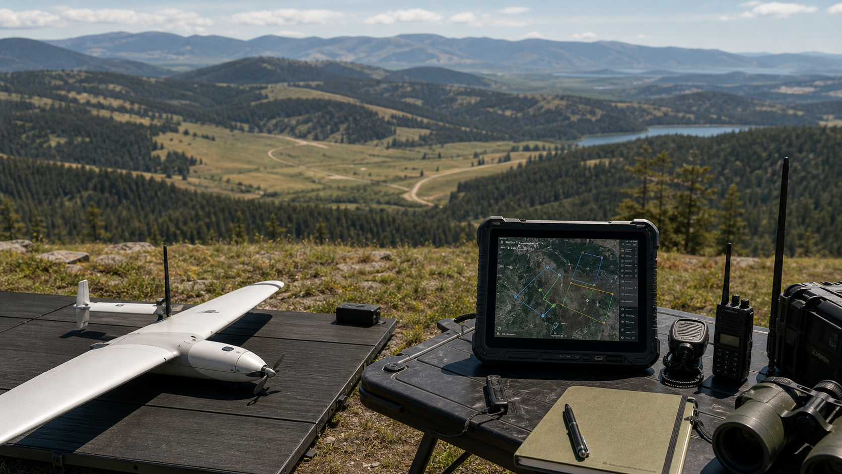
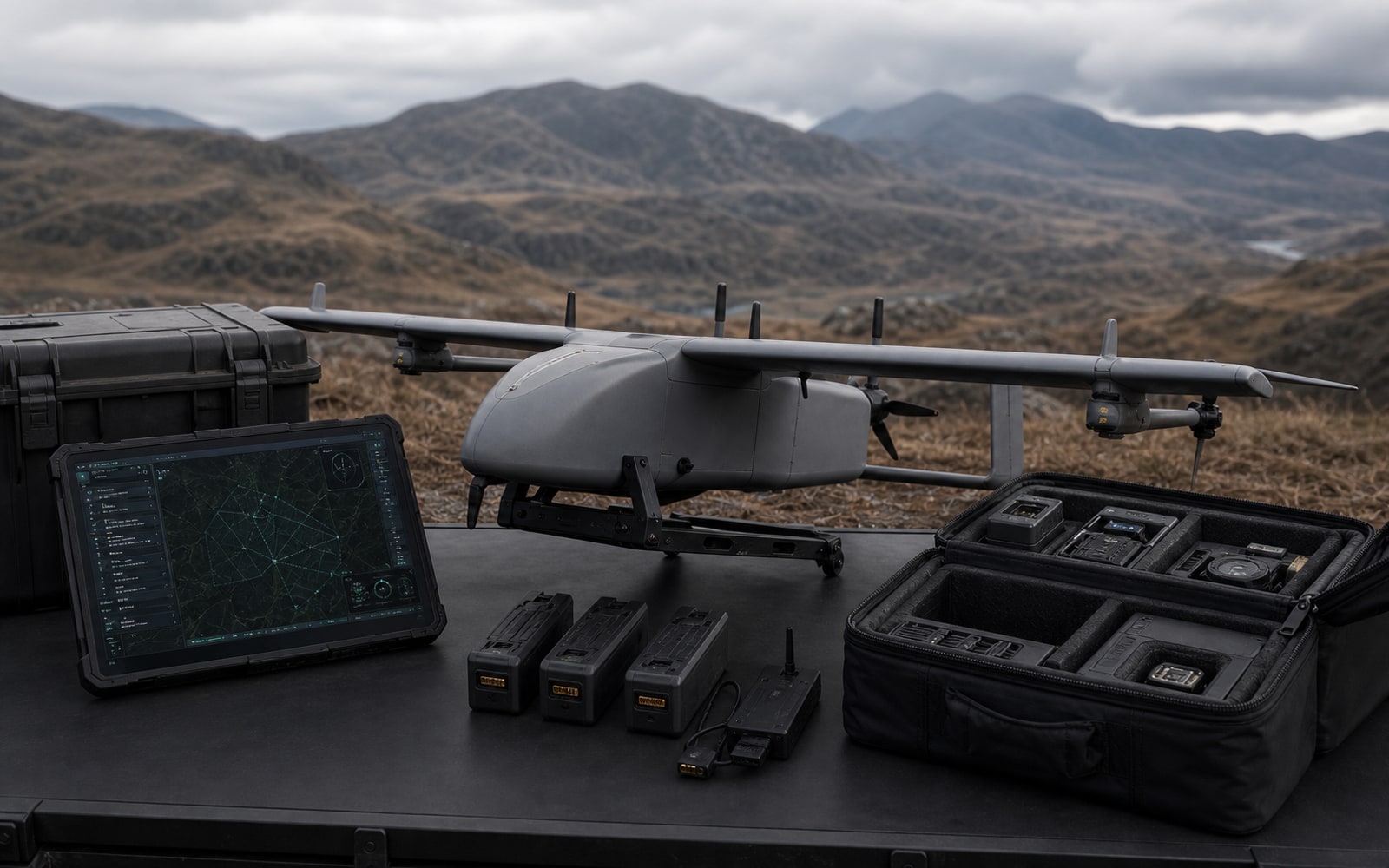
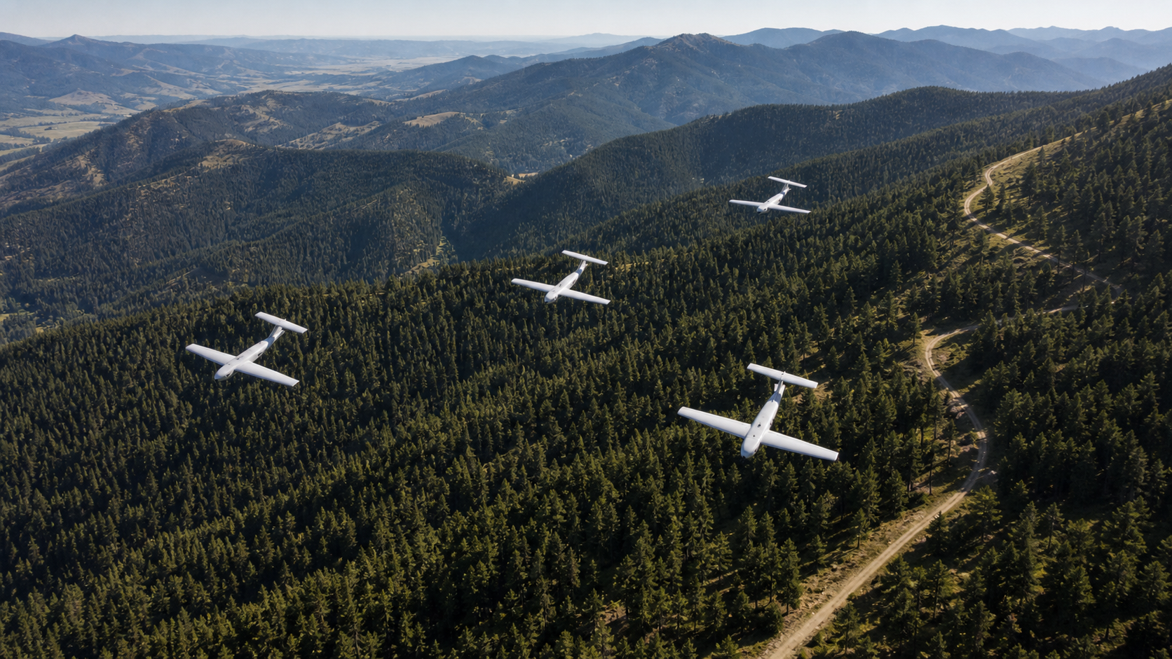
Launch repeatable routes that account for overlap, battery margin, terrain, and safe return behavior.
Watch route progress, aircraft health, imagery, ranked observations, and unresolved coverage gaps from one view.
Convert observations into coordinates, imagery, notes, confidence, and a durable record for response teams.
Whether the mission is a missing-person search, a disaster flyover, a perimeter patrol, or remote terrain coverage, Horus keeps the same practical rhythm: define the area, assign the aircraft, review the evidence, and hand off the next action.
Start with the field problem, then tune the aircraft routes, review workflow, and handoff packet around that mission.
The field problem changes, but the system still needs to produce coverage, context, evidence, and a response-ready handoff.
Wide-area coverage, ranked observations, and coordinate handoffs for teams trying to find people, assets, hazards, or access routes.
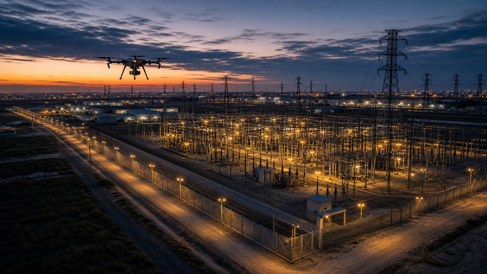
Consistent aircraft routes and exception review for large sites where teams need a record of what changed.
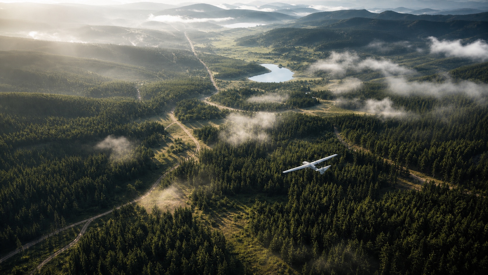
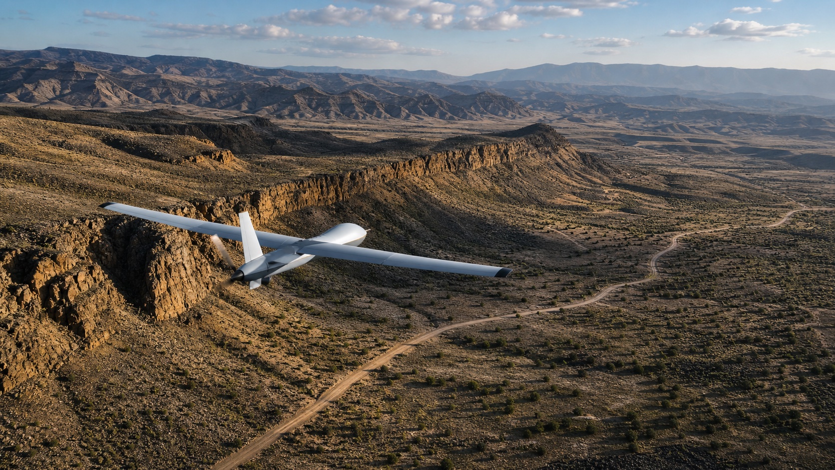
Battery-aware planning, route constraints, and field-ready outputs for areas that are expensive to reach by truck or foot.
A workflow that starts with one reliable aircraft and is structured for supervised multi-aircraft coverage as deployments mature.
Search more ground while every minute still matters
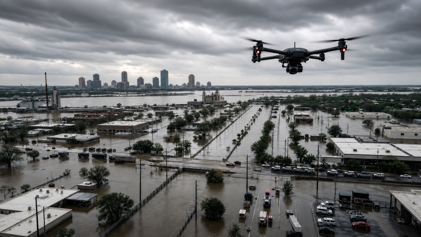
See blocked routes, hazards, and damage before crews roll in
Patrol large sites without staring at raw video
Reach terrain that slows trucks, radios, and response teams